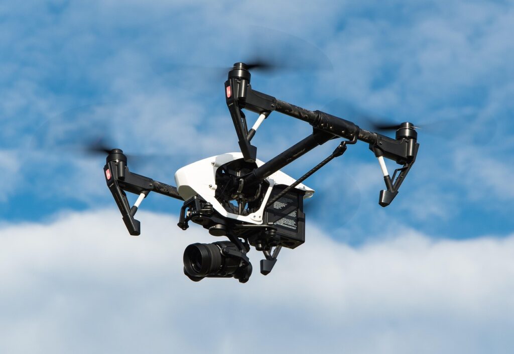

Everyone assumes buying a drone and watching a 10‑minute YouTube tutorial is enough to become proficient. The reality is far harsher: beginners crash, violate regulations, and waste money on gadgets they never fully utilize. This problem isn’t just about skill—it’s a cascade of misinformation, legal pitfalls, and a lack of systematic learning. The true cost of this shallow approach is measured in broken propellers, insurance claims, and missed commercial opportunities. The solution demands a disciplined, step‑by‑step methodology that treats drones as sophisticated tools rather than toys. Below is a deep‑dive that shatters the myth of “just fly and have fun” and replaces it with a rigorous framework for mastery.
📝 Table of Contents
What Is Drone Operation?
Drone operation refers to the controlled flight and management of unmanned aerial vehicles (UAVs) for personal, commercial, or industrial purposes. It encompasses pre‑flight planning, regulatory compliance, piloting techniques, data acquisition, and post‑flight analysis. The discipline sits at the intersection of aeronautics, robotics, and data science, demanding both technical skill and strategic thinking.
Most mainstream guides reduce drones to a hobbyist gadget, ignoring the layers of safety, legality, and data integrity that professional use requires. Treating a drone as merely a camera on a stick ignores the engineering principles that keep it aloft and the legal frameworks that keep operators out of court. Most mainstream guides
| Aspect | Hobbyist View | Professional View |
|---|---|---|
| Regulation | Optional | Mandatory compliance |
| Mission Planning | Ad‑hoc | Structured SOPs |
| Data Handling | Raw footage | Processed analytics |
| Safety Margin | Minimal | Risk assessments |
Drone Methods Worth Knowing
1. Pre‑Flight Checklist Mastery
Skipping a checklist is a shortcut that ends in disaster. A systematic pre‑flight routine catches hardware faults, battery issues, and regulatory oversights before they become costly failures.
The checklist should cover battery health, firmware versions, GPS lock, sensor calibration, and local airspace restrictions. Each item is verified with a documented sign‑off, turning a casual launch into a repeatable, auditable process.
- Plus Points:
- Reduces crash risk by up to 70%.
- Ensures compliance with FAA Part 107 or local equivalents.
- Creates a repeatable safety culture for teams.
2. Manual Flight Skill Development
Relying solely on GPS‑assisted modes creates a fragile dependency. Pilots must be comfortable controlling a drone manually in GPS‑denied environments.
Training should include throttle‑only climbs, hover precision, and emergency return‑to‑home (RTH) drills without GPS. Mastery of manual flight builds intuition, essential for inspections, search‑and‑rescue, and urban operations where signal loss is common.
- Plus Points:
- Enables operation in GPS‑jamming zones.
- Improves reaction time during sudden wind gusts.
- Builds confidence for advanced autonomous missions.
3. Autonomous Waypoint Programming
Many assume autonomous flight is a black box. In reality, understanding waypoint creation, altitude profiling, and trigger actions unlocks precision mapping and repeatable surveys. Many assume autonomous
Operators should learn to script waypoints using open‑source tools like Mission Planner or proprietary SDKs. Integrating conditional logic (e.g., pause for image capture) transforms a simple flight path into a data‑collection powerhouse.
- Plus Points:
- Achieves centimeter‑level repeatability.
- Reduces pilot workload on large sites.
- Facilitates multi‑drone coordination.
4. Sensor Fusion for Data Accuracy
Most tutorials treat the camera as the sole sensor, ignoring lidar, infrared, or multispectral payloads that dramatically enhance data quality.
Integrating multiple sensors requires calibrated time‑sync, proper mounting, and post‑processing pipelines. The payoff is richer datasets for agriculture, infrastructure inspection, and environmental monitoring.
- Plus Points:
- Provides depth information beyond visual spectrum.
- Improves object detection reliability.
- Enables 3D modeling with higher fidelity.
5. Post‑Flight Data Management
Collecting data without a management plan is a waste of flight time. Structured storage, metadata tagging, and automated processing turn raw footage into actionable intelligence.
Implement a workflow that ingests data into a GIS, applies orthomosaic stitching, and tags each dataset with flight parameters. This systematic approach accelerates decision‑making and satisfies compliance audits. ingests data into
- Plus Points:
- Speeds up client delivery by up to 50%.
- Ensures traceability for regulatory reporting.
- Facilitates machine‑learning model training.
The Impact on Consumers
✔ Safer Airspace Interaction
Rigorous pre‑flight and manual skill reduce near‑miss incidents, protecting people and property on the ground.
✔ Higher Quality Deliverables
Sensor fusion and post‑flight pipelines produce data that exceeds standard video, enabling precise measurements for clients.
✔ Regulatory Confidence Regulatory Confidence
Adhering to checklists and documentation keeps operators within legal bounds, avoiding fines and license suspensions.
✔ Cost Efficiency
Fewer crashes and optimized flight plans lower operational expenses and extend equipment lifespan.
✔ Market Differentiation
Clients prefer providers who demonstrate systematic processes, opening doors to premium contracts. Clients prefer providers
✔ Scalable Team Training
Standardized methods allow rapid onboarding of new pilots without sacrificing safety or quality.
The Road Ahead
- AI‑Driven Flight Autonomy
Machine‑learning models will predict wind patterns and adjust trajectories in real time, reducing pilot workload.
- Urban Air Mobility Integration
Drones will share airspace with delivery vehicles, demanding dynamic traffic management systems.
- Edge Computing on Board
Processing power will shift from ground stations to the drone, enabling instant analytics for emergency response. Processing power will
- Standardized Data Protocols
Industry bodies will adopt universal metadata schemas, simplifying cross‑platform data exchange.
- Regulatory Sandbox Expansion
Governments will create more test zones, accelerating innovation while maintaining safety oversight.
| Year | Key Advancement | Industry Impact |
|---|---|---|
| 2024 | 5G‑enabled low‑latency control | Real‑time video streaming for live inspections. |
| 2025 | Swarm coordination APIs | Simultaneous multi‑site surveying. |
| 2026 | Fully autonomous battery swapping stations | Near‑continuous operation for logistics. |
| 2027 | Standardized GIS data layers | Seamless integration with city planning tools. |
Closing Thoughts
The myth that drones are simple plug‑and‑play toys collapses under scrutiny; true mastery demands disciplined, step‑by‑step methodology. By embracing comprehensive checklists, manual skill, autonomous programming, sensor fusion, and robust data pipelines, operators transform drones from hobby gadgets into high‑value assets. The future belongs to those who reject superficial advice and adopt a systematic, evidence‑based approach.